Aerial Photography · Feb 5, 2022
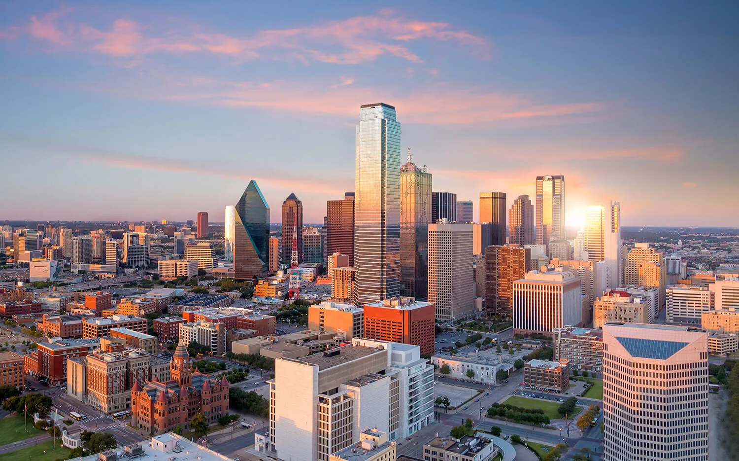
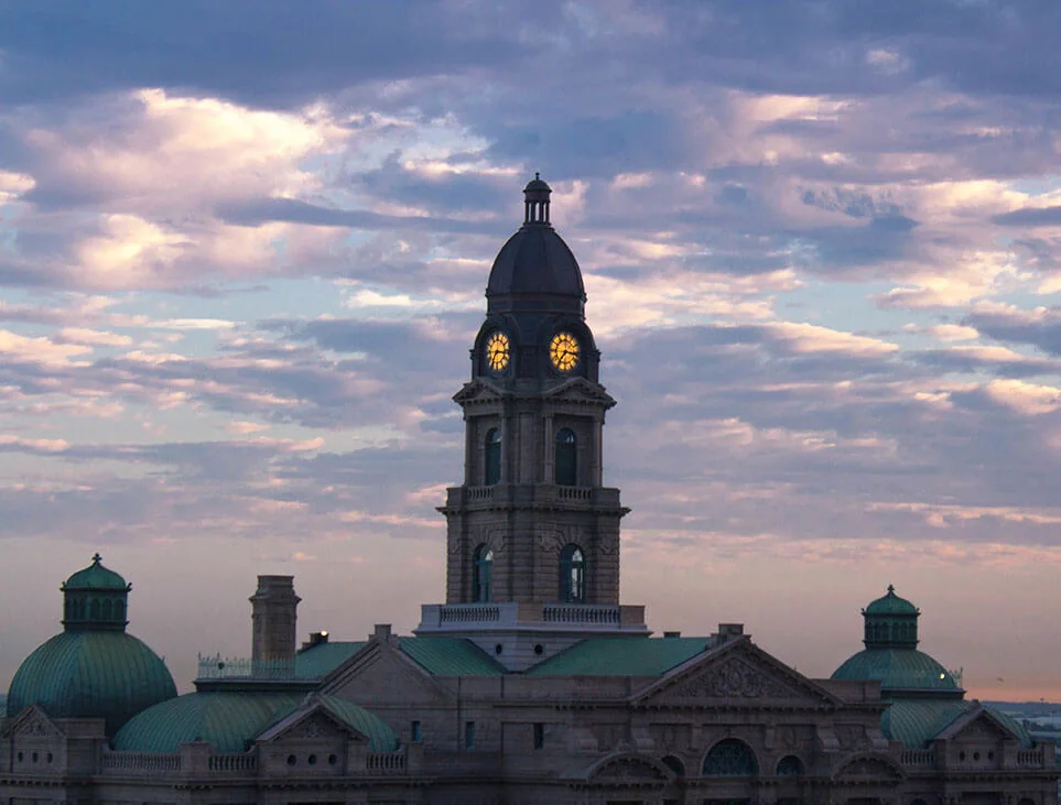
From Drone Shoots to a Governed Spatial Operating Layer for North Texas
A future-facing operating model for turning recurring aerial capture across North Texas properties and projects into governed spatial evidence and communication.
Read article