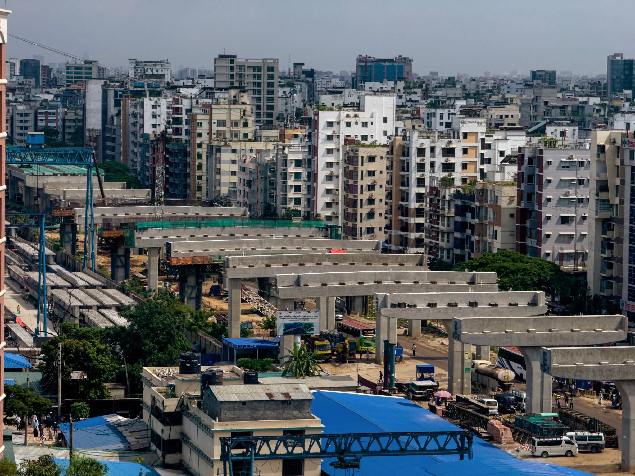
A logistics-yard aerial session becomes useful when it is designed around one operational question, not around the novelty of seeing the site from above. For a Dallas–Fort Worth distribution campus, that question might concern the relationship among the public approach, entry gate, internal staging, and dock or yard interface during a defined period. The camera can make those relationships visible. It cannot, by itself, establish why a delay occurred, measure legal capacity, grade performance, replace a traffic study, or authorize an operational change.
The strongest starting point is therefore a bounded visual record. This article explains a four-zone freight snapshot: a set of time-aligned context and detail views that helps stakeholders see where the story changes as a vehicle moves from the regional network into the controlled site. It also explains the flight, access, evidence, and handoff limits that keep the result useful. The reader should finish with a scope they can evaluate before anyone promises a shot.
Begin with the operational question, not the aircraft
Name the decision the imagery must support
A broad request such as document our truck traffic is not yet a production brief. It does not identify which movement matters, who will review the material, what time relationship matters, or what the imagery should help that person decide. If the question remains broad, the capture team is likely to collect attractive but disconnected views. The result may show a busy site without clarifying the handoff the reader actually cares about.
Rewrite the request as a decision question. For example: does the team need a common visual reference for discussing how inbound appointments meet the gate and staging layout during a particular operating window? Is the purpose to prepare an internal workshop, explain a recurring exception to a facilities partner, or document the current arrangement before a planned process change? Each purpose produces a different evidence threshold and different viewers.
The answer also controls detail. An executive briefing may need a small number of clearly labeled context frames. A facilities conversation may need consistent zone identifiers and closer visual references. A qualified traffic or industrial-engineering team may ask for imagery as one input among logs, counts, timestamps, plans, and field observations. The aerial provider should learn the intended use but should not assume the specialist’s analytical role.
A useful one-sentence scope names the location, time window, four zones, audience, and next decision. If the sentence cannot be written without vague words such as optimize, prove, or solve, the project question needs another pass. Visual documentation is strongest when the claim is narrow enough to survive review.
Separate the site from the wider freight system
North Texas freight activity gives the assignment relevance, but regional importance does not prove what is happening at one gate. The NCTCOG freight program describes DFW as a major inland freight region and identifies participation, bottleneck monitoring, movement efficiency, safety, mobility, air quality, and regional data as planning concerns. Those priorities explain why clear site-level records can matter to many stakeholders. They do not turn a few aerial frames into a regional performance study.
Treat the facility as one observable layer inside a much larger system. The public approach may be influenced by corridor conditions, delivery schedules, nearby development, rail activity, incidents, or weather. The gate may be influenced by appointment rules, credentials, staffing, security procedures, or driver information. Internal staging may reflect yard layout, temporary equipment, maintenance, dwell, or a short-lived exception. A single visual session cannot isolate all of those variables.
This distinction protects the article’s practical value. The assignment is not to diagnose the Metroplex from the air. It is to create a shared, location-specific visual reference that lets the right teams ask better questions. When a frame raises a hypothesis, label it as a question to investigate and pair it with the data owner who can test it. That makes the imagery a disciplined handoff rather than an unsupported conclusion.
Use a four-zone snapshot instead of one heroic overhead
The non-obvious move is to stop treating the site as one scene. Divide the operational story into four zones and align them to a common clock: the public approach, the gate decision point, the staging and internal-circulation area, and the yard or dock interface. Each zone receives one context view, one useful detail view when feasible, a timestamp or time band, an exception note, and a named owner of interpretation.
The four-zone snapshot is not continuous surveillance. It is a limited visual sample created for a defined business conversation. Its strength is not coverage of every vehicle. Its strength is that stakeholders can locate where the observed condition first becomes visible, where it changes, and which team has the information needed to interpret that change.
Zone one: the public approach
The first zone establishes how the facility meets the public network. Depending on the property and lawful viewpoint, a context frame may show the relationship among the entrance, turn lane, frontage road, adjacent parcels, signage, or alternate access. The goal is orientation, not reading license plates or following individual vehicles. A good frame makes the boundary between public context and private operations obvious.
This zone helps the team avoid a common mistake: beginning the story inside the fence. If the operating question involves arrival timing or entry confusion, the approach relationship may be essential. If the question begins only after credentialing, the public-road view may be unnecessary or may be represented by an approved diagram instead. Capture should follow the decision, not a universal checklist.
Mark the observation boundary before planning the view
Draw the property and observation boundary on a planning image before choosing an aerial angle. Identify where the operator may stand, where the aircraft may legally and safely fly, which neighboring properties require permission, and where public traffic or uninvolved people make a requested view impractical. A desired frame is not a flight authorization. Airspace status, property access, takeoff and landing permission, people, traffic, obstacles, and the pilot’s risk assessment remain separate questions.
The boundary also belongs in the final handoff. A reviewer should be able to distinguish what was outside the commissioned observation area from what was not visible because of angle, light, obstruction, or safety. Absence from a frame is not evidence that an activity did not occur.
Zone two: the gate decision point
The gate is where a regional movement becomes a controlled-site process. A useful context view may show the relationship among inbound alignment, checkpoint, bypass or exception area, exit path, signage, and immediate staging. A detail view may clarify geometry or the placement of a queue relative to an internal decision point. It should not be framed as proof of processing rate or compliance.
Ask what changes at the gate. Is information checked, a lane selected, an appointment matched, a trailer redirected, or a staging instruction issued? The imagery team does not need access to confidential operating data, but it does need to understand which spatial relationship is meaningful. Otherwise it may emphasize the architecture while missing the decision point.
Gate capture often involves active people and vehicles, access controls, communications rules, and security concerns. The site contact must identify no-capture areas, confidential information, approved windows, escorts, and who can stop the operation. If a safe view cannot be obtained, the correct result is an exception record, a ground-based alternative, or no capture—not an improvised flight.
Zone three: staging and internal circulation
The third zone shows where vehicles wait, sort, turn, park, or move between the gate and destination. From above, circulation geometry can become understandable in a way that a ground observer cannot see from one location. Yet visible geometry is not the same as usable capacity. Striping, temporary barriers, parked equipment, trailer orientation, drainage features, fire access, grade, and active work can all affect what the frame appears to show.
The capture brief should therefore identify the relationship of interest. It may be the distance between the gate and first staging decision, the separation of inbound and outbound paths, or the visibility of an exception area from the control point. The article’s supporting construction and development aerial service is relevant because it already frames active-site work around repeatable views, access, safety contacts, and organized delivery. This four-zone method narrows that discipline to an operating handoff rather than construction progress.
Align the clock before comparing the zones
A four-zone set only supports time-based discussion when the timing is explicit. Record the planned time band, actual capture time, known schedule context, and any interruption. If zone one was captured at 8:05 and zone four at 9:10 after a weather pause, the set should not be described as simultaneous. Use time-aligned to mean transparently related, not magically concurrent.
For a short site, the operator may collect the zones within one documented window. For a larger or more constrained site, capture may be sequential. The reference card should show the difference. When true synchronization matters, the client may need multiple approved observers, existing fixed data, or another method outside the proposed aerial scope.
Zone four: the yard or dock interface
The final zone records the relationship between internal movement and the operating destination: a dock line, trailer yard, loading area, service court, equipment zone, or another defined interface. The wide view should preserve orientation. A closer frame should answer a specific spatial question without implying a condition assessment beyond ordinary visible imagery.
This is where overclaiming becomes tempting. A frame may show open positions, parked trailers, turning movements, or an apparent conflict. It cannot establish whether a space was available under operating rules, whether a trailer was scheduled, whether a worker followed a procedure, or whether a layout complies with an engineering standard. Those questions require records and qualified interpretation.
The practical insight is the handoff, not the object count. Connect the zone-four frame back to zones three, two, and one. Ask where the observed story changed and which data owner can test the reason. If no meaningful change is visible, that is also useful: the team may decide aerial imagery is not the next evidence source and redirect effort before commissioning a larger program.
Build a capture plan that can survive operational review
Define the time window and exceptions
The operating window should be chosen because it represents the question, not merely because the site is busiest. Peak activity may create unacceptable flight risk, restricted access, glare, shadows, or visual occlusion. A quieter transition period may reveal the geometry more clearly. In another case, a carefully controlled representative window may be essential. The site owner, safety contact, and remote pilot must resolve that tradeoff together.
Record the planned condition: day of week, appointment band if relevant, shift transition, known construction or maintenance activity, weather tolerance, and light direction. Then record actual exceptions. A closed lane, temporary equipment stack, delayed access, changed dock assignment, wind hold, or aborted zone can materially alter the story. Exceptions should remain attached to the frames, not buried in an email.
Create a one-page capture reference card
The reference card can be simple. For each zone, list: the operational question; the observation boundary; one context view; one detail view if feasible; the target time relationship; the visible identifiers allowed in frame; the required site contact; the stop condition; the intended reviewer; and the next decision the image may support. Add a line for actual time and exceptions after capture.
This card is the substantial output readers can use without hiring anyone. It forces the project to expose missing inputs before flight. If the team cannot name the intended reviewer or next decision for a zone, that zone may be decorative. If the stop condition is missing, the operating plan is incomplete. If the desired detail requires identifying workers, vehicles, security procedures, or confidential material, privacy and security review must occur before capture.
Keep documentation separate from analysis
A disciplined scope assigns three different responsibilities. The aerial team is responsible for approved, safe capture and for delivering files with accurate identity, time, orientation, and exception information. The facility or logistics team supplies the operating question, schedule context, access controls, security limits, and process owners. Qualified transportation, industrial-engineering, safety, legal, or other specialists interpret the evidence when the decision requires their expertise.
This separation does not make the imagery passive. Good production judgment determines whether a frame preserves orientation, whether a comparison is visually honest, and whether a requested shot can be obtained safely. But visual clarity is not professional authority to declare root cause, capacity, code compliance, productivity, safety performance, or legal fault.
The same discipline appears in the site’s article on defensible industrial aerial evidence, which distinguishes an organized visual record from regulated conclusions. The four-zone brief applies that principle to movement and handoffs. It should say what was captured, when, where, and under which known conditions; it should not say what the facility must change.
Let flight feasibility control the viewpoint
An active logistics yard combines many variables that can invalidate a planned angle: workers, contractors, drivers, occupied vehicles, public traffic, cranes, lighting, antennas, rail activity, security rules, neighboring property, communication limitations, and changing wind. The exact address also controls airspace research. A regional promise is not enough. The remote pilot must evaluate the actual site and retain authority to modify or stop the plan.
The FAA’s Advisory Circular 107-2A explains the Part 107 framework for operations over people and moving vehicles, including important distinctions for closed or restricted-access sites and sustained flight. The rule is not a creative obstacle to work around. It is one reason the four-zone card begins with boundaries and allows exceptions.
Moving vehicles are a planning boundary, not a visual target
Do not scope the project as hovering over traffic to watch individual vehicles. A useful context angle may be available from a position that does not require flight over moving vehicles or uninvolved people. Another desired angle may be unsafe or impermissible. Equipment category, site control, participant status, aircraft path, notice, and the exact operation matter; those determinations belong to the responsible pilot and any required authorization process.
Operational review should also include a ground plan. Where can the crew stand without interfering with yard work? Who monitors site communications? What triggers an immediate landing? Which zones become ground-only if conditions change? A production that cannot tolerate a missing zone is fragile. A production that records why a zone was not captured preserves both safety and evidence quality.
Turn frames into a decision brief
Sequence files so another team can reconstruct the session
A folder of automatically named files forces every reviewer to rebuild the project from memory. Instead, use a predictable structure: date, site identifier, zone, view type, direction or reference, sequence, and time. Keep the untouched master, approved derivatives, and working annotations separate. The exact convention can match the client’s system, but it should be agreed before capture.
Start the handoff with a session index. It should identify the site, question, planned and actual window, zone definitions, capture order, known exceptions, and the person or team responsible for interpreting each zone. A small orientation diagram can show where each camera direction begins without asserting survey accuracy.
For recurring sessions, preserve the original zone and viewpoint identity. Do not silently move the reference because a cleaner composition is available. Record the deviation and provide the best comparable frame plus a clearly labeled alternative. The site’s repeat-capture specification for North Texas projects offers deeper guidance on controlled viewpoints and exceptions; the freight snapshot uses the same traceability principle for a shorter operations question.
Annotate questions, not unsupported conclusions
A decision brief can be valuable without making findings. Under each zone, include a neutral observation, the information needed to interpret it, the responsible data owner, and the next question. A neutral observation might say that the context frame shows vehicles occupying the marked approach area at the recorded time. It should not say the gate is understaffed or the road is over capacity unless qualified analysis supports that conclusion.
Use a question map. Zone one may prompt a corridor or scheduling question. Zone two may prompt a credentialing or exception-process question. Zone three may prompt a layout or appointment question. Zone four may prompt a dock assignment or yard-management question. This map turns imagery into a cross-functional agenda without disguising assumptions as facts.
The brief should also state what is not visible. Rooflines, trailers, shadows, trees, structures, glare, distance, resolution, motion, or a safety-driven flight path can obscure material areas. If the intended decision depends on reading small markings, identifying individuals, or measuring distances, ordinary aerial photography may not be suitable. Hold the claim, change the method, or engage the appropriate specialist.
Plan for DFW conditions without turning context into a claim
Use regional freight evidence to frame relevance
The Freight North Texas regional system page says the region functions as a major distribution center and describes work on safety, mobility, air quality, land-use conflicts, parking, congestion, bottlenecks, and first-and-last-mile conditions. This is a strong reason to treat freight interfaces as important. It is not evidence that a particular facility has any named problem.
TxDOT is also developing the 2027 Texas Freight Mobility Plan, with planned outcomes spanning policies, programs, technology and operations, and projects. The prudent interpretation is that freight decisions increasingly require coordination across infrastructure, operations, technology, and stakeholders. A well-governed visual layer can help a facility team participate in that kind of coordination. It does not become a state plan, dataset, or approved recommendation.
That distinction is the article’s future lens. As organizations connect more operational records, maps, schedules, and visual data, the value of an aerial session will depend less on how many files it produces and more on whether those files have controlled identity, time, purpose, rights, and interpretation boundaries. A team can improve those foundations now without claiming automated diagnosis, continuous monitoring, or a digital twin.
Resolve the exact address, control plan, and weather
DFW is not one operating environment. A site near a major airport, heliport, downtown corridor, rail facility, stadium, dense neighborhood, or open industrial edge can present very different airspace and ground risks. Even two properties on the same road can have different access, obstructions, neighboring uses, and takeoff options. Feasibility begins with the exact address and desired time, not the market name.
Heat, wind, thunderstorms, glare, and fast-changing cloud cover can affect both safety and comparability. The brief should define acceptable visual conditions and what happens if only part of the zone set can be collected. A weather delay can break time alignment; a different sun angle can hide or exaggerate markings and vehicle shadows. Record the change rather than pretending the sessions match.
Site operations matter equally. Identify the person who can grant access, explain current controls, coordinate escorts, pause a zone if authorized, or stop the flight. Resolve confidentiality, records retention, worker and driver notice where required, and who may receive the files. If the intended output crosses into security-sensitive operations, legal or security review may be necessary before any imagery is captured or shared.
Decide whether the four-zone snapshot is ready to scope
Run the six-question readiness test
A team is ready to request feasibility review when it can answer six questions. First, what single decision or conversation should the imagery support? Second, how are the four zones defined at this exact property, and is every zone truly necessary? Third, which time relationship matters, and what exceptions would invalidate comparison? Fourth, who controls access and safety, and who owns interpretation after delivery? Fifth, what information must not be captured or distributed? Sixth, what will the team do next if the frames confirm, complicate, or fail to illuminate the original question?
A no answer is useful. If the decision is unclear, hold production and conduct an internal scoping conversation. If the time relationship cannot be defined, choose a static spatial question instead. If interpretation has no owner, identify that owner before collecting evidence. If a necessary viewpoint conflicts with safe or lawful operations, redesign the artifact. If the files would contain sensitive information without an approved handling plan, stop.
This readiness test prevents a small visual project from becoming a vague technology experiment. It also helps the buyer compare proposals. A credible scope should discuss the actual zones, constraints, timing, deliverable organization, usage, and limits. It should not guarantee that the imagery will prove a cause or produce an operational improvement.
Send a rough operational question, not a finished shot list
If the readiness test is substantially complete, the next step is a feasibility conversation. Use the verified DFW request-a-quote page to share the exact address, rough freight-interface question, preferred operating window, access and safety contact, intended reviewers, known confidentiality limits, and the output you expect to use. A rough concept is enough; the capture team should help test whether it can become a safe, useful visual scope.
The four-zone method should make that conversation faster because it exposes what matters and what remains unknown. The best outcome may be a bounded aerial session. It may be a mixed aerial and ground plan, a different time window, a smaller set of zones, or a recommendation to obtain specialist input first. That is not lost momentum. It is the value of planning before the aircraft becomes the plan.
A well-scoped DFW logistics-yard record does not try to watch everything. It gives the right people a common visual reference, preserves the conditions and limits of that reference, and makes the next question easier to assign. That is a more durable use of aerial documentation than one dramatic overhead with no decision attached.