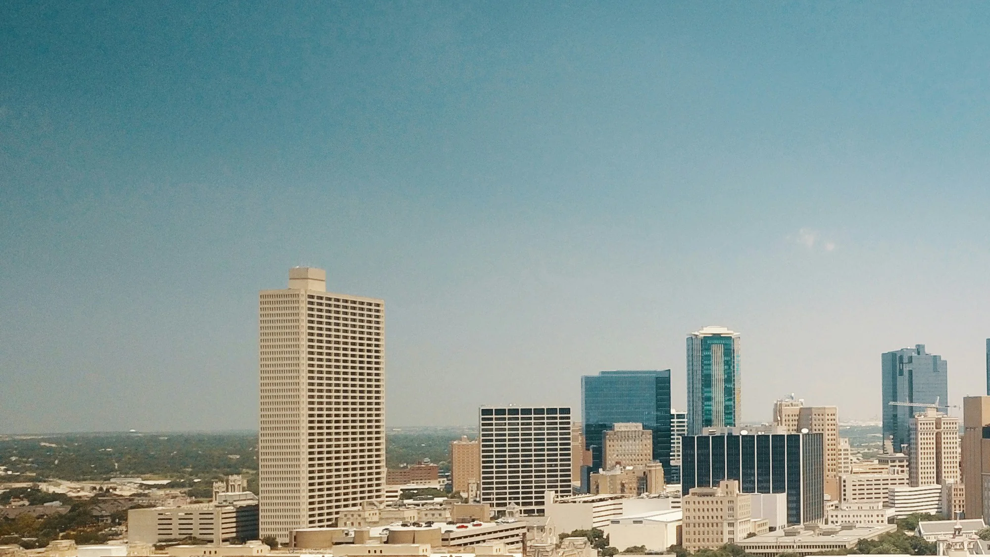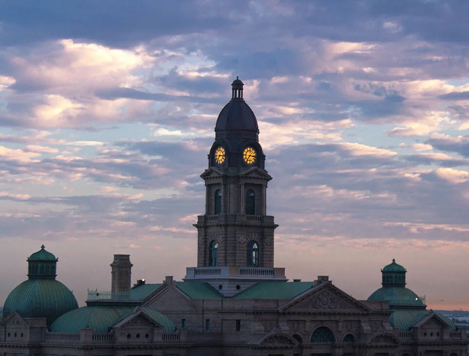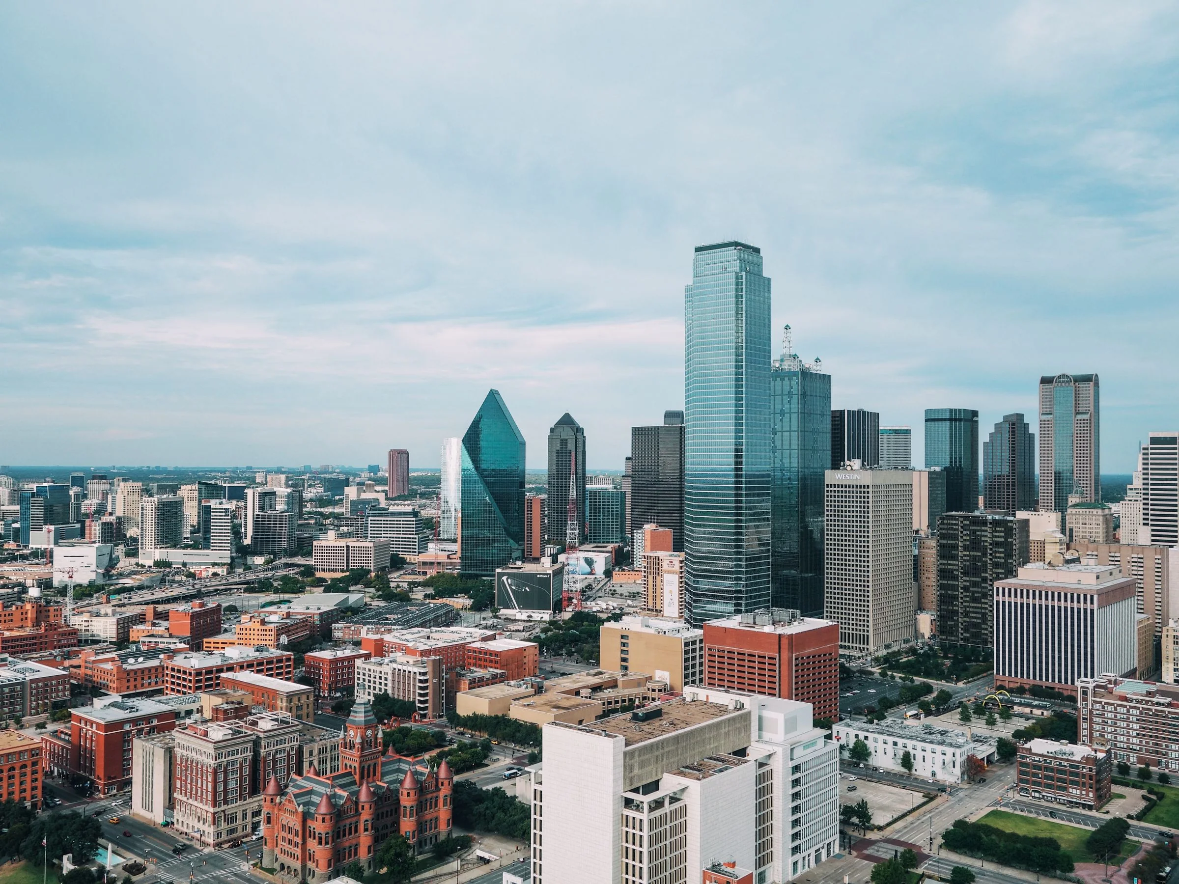
There is no single “DFW drone permit” that makes a commercial flight lawful. A Dallas–Fort Worth production can involve several independent approvals: federal authorization to operate in controlled airspace, permission to use the launch property, a city or land-manager filming permit, venue or airport consent, and an operating plan that complies with Part 107. Receiving one does not confer the others.
That layered system is especially important across the Metroplex. Downtown Dallas sits beneath complex controlled airspace. DFW International Airport, Love Field, Addison, Alliance, Meacham, Arlington, Grand Prairie, Dallas Executive, McKinney, heliports, military activity, stadiums, and temporary restrictions all influence different parts of the region. The property map adds a second layer: municipal streets and parks, private developments, airports, campuses, the Fort Worth Stockyards, event venues, and managed rooftops each have their own controls.
This checklist helps a producer, property owner, agency, or client organize those questions before promising a shot. It is production guidance, not legal advice, and it cannot determine feasibility without an exact coordinate, date, time, altitude, aircraft, crew plan, and subject. Current conditions always control. Use it to build a complete request for the DFW drone production team, not to self-approve an operation.
Separate the five permissions that buyers often combine
FAA operating rules govern the flight
Paid and business-purpose small-drone work generally operates under 14 CFR Part 107. The Federal Aviation Administration’s current Part 107 overview summarizes requirements including remote-pilot certification, aircraft condition, visual line of sight, yielding to other aircraft, and limits involving people, vehicles, altitude, visibility, and other conditions. The remote pilot in command is responsible for the operation and cannot transfer that responsibility to a client, venue, or permit office.
Part 107 is a national operating framework. It does not give a crew the right to stand on private property, close a sidewalk, use city equipment, enter an airport, or fly through a stadium restriction. It also does not guarantee that every creative request can be accomplished by adding staff. If the desired move depends on losing visual line of sight, flying over an open crowd, occupying an uncontrolled street, or exceeding an authorization, the plan must change or obtain the specific relief and controls the rules require.
Controlled airspace requires a separate FAA authorization
Class B, C, D, and surface-area Class E controlled airspace requires prior authorization for Part 107 operations. The FAA’s LAANC program can provide near-real-time authorization at or below published UAS Facility Map altitudes around participating facilities. A request above the published grid value, up to the Part 107 ceiling, can require further coordination. Locations not handled through LAANC or operations involving certain waivers may use DroneZone and a manual review.
Authorization is coordinate-, altitude-, date-, and time-specific. A grid value is not itself an approval. A prior authorization for the same neighborhood does not automatically cover a new date, operating point, aircraft plan, or altitude. The DFW market also includes aviation facilities that differ in LAANC availability and operational context. The remote pilot should identify the controlling airspace with current FAA data instead of assuming the nearest familiar airport owns the answer.
LAANC is not a universal permission app
LAANC addresses eligible controlled-airspace authorization. It does not approve a film permit, land use, road control, property access, venue activity, a stadium TFR, operations over people, or every requested altitude. The FAA notes that pilots must still check current Notices to Air Missions, temporary restrictions, weather, and all other applicable rules. A green or approved screen should be read with its operating provisions, not treated as an all-purpose permit.
Property permission controls the operating site
The crew needs authorization to use the ground from which it launches, lands, stages, and works. On private property, obtain permission from the owner or an authorized manager. A tenant may not control the roof, loading yard, parking lot, or neighboring parcel. A marketing contact may be able to approve the finished images but not physical access. Confirm the controlling person and record any conditions.
The operating point affects feasibility. Trees, power lines, reflective glass, radio interference, traffic, security fencing, roofs, cranes, and the need to maintain visual line of sight can make an apparent launch area unsuitable. Moving across the street may introduce a new property owner or municipal sidewalk. Moving to a roof may add fall protection, access credentials, escort requirements, and a different view of the aircraft. Property permission should therefore be part of the flight design, not an email collected after the shot list is sold.
An owner release does not authorize the airspace
The reverse is also true: written owner approval does not authorize controlled airspace or waive federal operating limits. Keep the authorization documents in separate checklist rows. One row names the FAA authorization and operating provisions. Another names the owner or land manager, approved operating area, access time, escort, and restrictions. This simple separation prevents a common production failure in which everyone believes another party handled “the permit.”
Map the DFW aviation environment before choosing the camera move
Review every address, date, and proposed altitude
Begin with exact coordinates for launch, subject, and intended flight area. A street address can cover a large parcel; a distribution campus or ranch may cross several facility-map grids. Identify the lowest altitude that communicates the subject. Many useful real estate, construction, and event-establishing images can be produced lower than a generic 400-foot request, which can simplify planning and improve detail.
Next, check the intended time against current airport activity, Notices to Air Missions, temporary restrictions, weather, and venue schedules. DFW airspace is dynamic. Emergency response, VIP movement, security events, stadium activity, and other temporary conditions can remove an otherwise workable window. Recheck close to the operation rather than relying on a planning screenshot.
Do not call an airport tower for informal approval. FAA guidance directs Part 107 operators in controlled airspace to use LAANC or DroneZone as applicable. Unless an authorization specifically instructs otherwise, a pilot generally does not need to call the tower after receiving LAANC approval. Following the documented process gives both the pilot and client a record of the exact conditions.
DFW International Airport requires special caution
DFW International Airport is a major operational and security environment, not just a large blue shape on an airspace map. Its published media guidelines state that UAS or drone use is prohibited over the airport and within a five-mile radius. The page also directs commercial productions to the airport’s film and photography process. A client request for “a quick terminal approach” or hotel view near the airport should therefore be treated as a specialized feasibility question, not a standard LAANC task.
Airport property permission, airport policy, and FAA airspace authorization are related but distinct. A production may need to coordinate with airport communications, operations, security, a tenant, or another controlling entity, in addition to meeting FAA requirements. Do not infer a right to operate from public access to a parking area or from an airspace app’s display.
Nearby does not mean the same thing everywhere
The FAA does not establish a universal recreational-style “five-mile rule” as the Part 107 authorization test; controlled-airspace boundaries and current restrictions matter. DFW Airport’s own published five-mile prohibition is a property/airport policy statement that must also be respected. Around other airports, the applicable airspace, airport rules, property controls, and authorization method can differ. The checklist should name the actual facility and controlling rule instead of repeating a generalized distance slogan.
Stadiums and large events create time-dependent restrictions
The FAA’s stadium restriction guidance applies to qualifying NFL, MLB, NCAA Division I football, and certain major racing events. It describes a restriction within three nautical miles beginning one hour before and ending one hour after the event. Arlington and the broader DFW event market make this more than an abstract concern. The current schedule and restriction status must be checked for the proposed time.
Even when a federal stadium restriction is not active, open crowds, moving vehicles, event security, temporary structures, pyrotechnics, broadcast equipment, and venue rules can make live-event flight unavailable or inappropriate. The safest and most useful aerial plan often emphasizes controlled pre-event exteriors, empty venue details, setup, sponsor architecture, and a ground-based plan for the live crowd. See the DFW event drone services page for the information a production should provide.
Determine whether a city or location permit is required
Dallas public-property filming has its own process
The Dallas Film Commission’s permit page states that filming on city-owned property, public streets, certain sidewalks, parks, plazas, and city facilities can require a permit. It also says private property does not require that City of Dallas filming permit. The page publishes minimum review timing and notes that more complex productions need additional lead time. Current requirements should be confirmed for the specific activity.
A small crew on a privately controlled lot is not automatically equivalent to a crew staging on a public sidewalk. If production vehicles occupy restricted curb space, equipment blocks pedestrian access, traffic must be interrupted, or a city-managed landmark is used as the operating base, the public-property question becomes material. The camera looking toward public space is different from the crew occupying or controlling it.
Fort Worth rules depend on the location and impact
Fort Worth’s process is location-specific. The Fort Worth Film Commission publishes requirements and contacts for city activity, Sundance Square, Panther Island, the Stockyards, campuses, parks, and other properties. A general “Fort Worth permit” cannot substitute for permission from the actual district, venue, property owner, and public agency involved.
The Stockyards illustrates why a recognizable destination needs early research. Streets, heritage areas, private businesses, pedestrian activity, events, and district-specific photography rules can overlap. A client’s permission to photograph one storefront does not necessarily control the street, adjacent roofs, or public gathering areas. Build the location map before writing a shot list that depends on a particular launch position.
Private property can still require coordination
No city film permit does not mean no paperwork. Private sites may require a location agreement, certificate of insurance, vendor registration, security plan, roof-access procedure, tenant notification, or restrictions on imagery and file distribution. Those are contractual and operational requirements. Record them even when the municipal permit column reads “not applicable.”
Parks, campuses, venues, and districts control their land
Each land manager can regulate commercial activity on its property. Parks departments, universities, school districts, transit agencies, convention centers, hotels, sports venues, and planned developments may have separate contacts and insurance language. Confirm the exact parcel; a lawn, street, garage, riverfront, and plaza with one public-facing name may be controlled by different entities.
Ask the location manager for written approval that describes the drone activity, operating area, date, time, crew size, vehicles, and any required separation from guests or operations. A general photography approval may not cover aircraft. If the manager says the drone is approved, identify whether that statement comes from someone authorized to control the property and whether security or operations has also reviewed it.
Build a compliant field plan rather than a paperwork folder
Design around people, vehicles, obstacles, and sight lines
Permits do not create a safe operating area. The remote pilot must assess people who are not participating, moving vehicles, roads, cranes, utility lines, rooftop equipment, glass, GPS and radio conditions, birds, emergency landing options, and the complete line of sight. A visual observer can improve awareness but does not expand the operation beyond applicable rules or authorization.
For a DFW construction project, coordinate with the superintendent around lifts, cranes, concrete placements, deliveries, and work zones. For a commercial property assignment, address tenant traffic, loading operations, neighbors, and parking. For an event, build a controlled pre-opening window instead of assuming the crowd will cooperate.
Assign responsibilities in a preproduction ledger
Use one shared list with the following fields: requirement, controlling authority or owner, responsible party, submission date, approval status, operating conditions, document location, and recheck time. Include FAA authorization, property access, city permit, venue approval, certificate requirements, security contact, weather review, current TFR and NOTAM check, crew roles, shot priorities, and contingency.
The producer may own the city permit and talent releases. The client may own the location agreement and security escort. The remote pilot owns the safe operation and applicable flight compliance. Responsibilities can be distributed, but they should not be ambiguous. If a condition changes—a different roof, later time, higher altitude, new crowd, or added location—reopen the relevant rows.
Mark approvals as conditional until all layers align
A project can have FAA authorization but no launch property, or a location agreement but no workable airspace. Use a final “go/no-go dependencies” line that identifies the last items preventing confirmation. This prevents a partially approved plan from being marketed internally as complete.
Carry a no-flight creative plan
A professional production can lose flight for reasons nobody controls: emergency response, a new TFR, wind, lightning, a locked operating area, an unexpected crowd, or a venue decision. Decide in advance which ground-based shots, interior details, elevated fixed-camera views, maps, licensed archive media, or alternate dates can preserve the business objective. The alternative should not encourage an unsafe attempt to protect sunk cost.
For one-time events, rank essential aerial coverage that can occur before public arrival. For recurring construction, define the reschedule window. For property marketing, identify a weather-flexible date and a campaign deadline. For a wedding, confirm the venue’s written policy and let ceremony privacy and guest safety take precedence over a promised aerial angle.
Use the final DFW drone filming checklist
Pre-booking questions
Provide exact coordinates, property owner, desired date and alternate, subject, final deliverables, planned uses, essential views, estimated attendance, active operations, and known airport or venue relationships. Ask the provider to identify unresolved airspace and access questions before the agreement becomes nonrefundable.
Confirm the remote pilot credential appropriate to the operation, aircraft registration and condition process, insurance relevant to the contract, and who will act as remote pilot in command. Do not ask a camera assistant, venue employee, or enthusiastic aircraft owner to “cover the permit” without naming the legal and operational role.
Seventy-two hours through launch
Reconfirm the authorization conditions, location approval, permits, access contact, security or superintendent plan, weather, current restrictions, crew call, battery and media plan, emergency contacts, and shot priorities. Then repeat time-sensitive checks close to launch. A three-day review is a coordination milestone, not proof that nothing can change.
At the site, the remote pilot confirms the operating area and makes the final safety decision. If actual conditions differ from the plan, pause and redesign. A client’s deadline or a location fee does not create authority to exceed the operating conditions.
Maintain one current field packet
The field packet should contain the current versions of the documents the crew actually needs, not an email trail with contradictory drafts. Include authorization details and conditions, property approval, municipal or land-manager permit when applicable, approved operating map, emergency and security contacts, certificate information, and the production schedule. Limit sensitive information to the people who need it and provide a clear owner for document updates.
Check whether the creative request changed after approvals began. A higher reveal, added rooftop, moved call time, second location, live audience, vehicle sequence, or night scene can change the analysis. Compare the final shot list with the scope submitted to each authority and property owner. If they no longer match, do not assume that the earlier approval stretches to cover the new request.
For multi-day work, identify which checks and permissions remain valid and which require a fresh review. Current airspace information, TFRs, NOTAMs, weather, venue activity, emergency conditions, and the operating area can change. A recurring construction authorization or property agreement can support planning without replacing the pilot’s day-of responsibilities.
After the assignment, archive approval records with the project rather than discarding them when the files are delivered. Note the actual locations, date, operating windows, material deviations, and whether any approved view was not used. This history can make a later project easier to research, but it should be treated as reference—not automatic permission for a new date or a modified operation.
Keep creative and procurement claims conditional
Procurement and creative teams should also distinguish a denial from a design problem. If a desired view is unavailable at the requested altitude or property, a lower route, different operating point, earlier controlled window, fixed elevated camera, ground lens, map graphic, or client-supplied licensed archive may accomplish the communication goal. The right response to a constraint is often to redesign the media function, not to search for someone willing to ignore it.
For agency and enterprise buyers, add approval evidence to the purchase order or production book. Identify the legal entity hiring the provider, the property controller, the permit applicant, and the remote pilot organization. Similar brand names can mask different responsibilities, especially when an agency, venue, landlord, tenant, and event producer participate. A written responsibility map helps accounting and legal reviewers understand why an approval issued to one party does not automatically cover every other party.
Set an internal deadline for a feasibility answer before creative commitments become public. Do not sell a sponsor a rooftop reveal, promise an executive a stadium shot, or announce live aerial coverage while the address, date, operating property, and airspace are still unresolved. Mark conditional concepts as conditional in decks and budgets. Early honesty gives the team time to redesign; late certainty creates pressure at the field location.
Finally, require the final edit to respect the operating record. A camera angle that was captured lawfully does not mean the client may add an inaccurate map, boundary, altitude claim, or implication that the aircraft flew over people. Captions and graphics should describe the property and event truthfully, while the retained approval files document the actual production for internal use.
Send a complete feasibility request
Use the DFW quote request page to provide the exact address, date and alternate, intended altitude or visual goal, property contact, public-property activity, event schedule, deliverables, and deadline. A useful response should separate FAA authorization, property permission, local filming requirements, venue controls, and field safety—then explain which items remain conditional.