

01
Limit unnecessary exposure
Initial visual capture can reduce avoidable access to elevated, expansive or difficult locations.

The service
Collect clear visual evidence from rooftops, equipment and exterior structures before putting a person at height. Drone imagery helps technical teams decide where closer hands-on investigation is necessary.
Discuss your project
Specialist services
Each service has its own planning questions, deliverables, and quote path. The overview remains available when your assignment crosses more than one category.
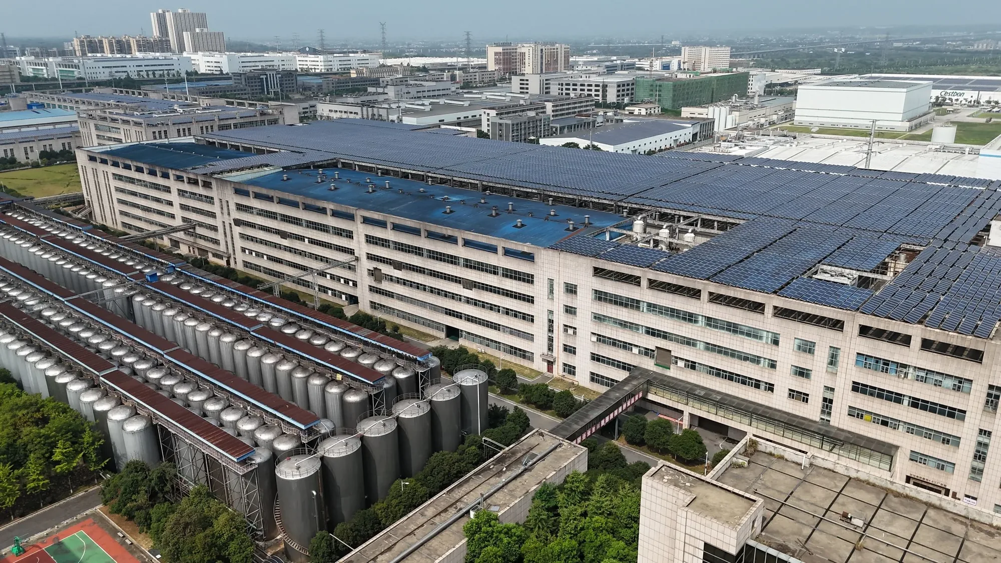
Systematic overview and detail imagery for qualified roof, maintenance, engineering, insurance, and property professionals to review.
Explore this service
Structured elevation and detail imagery for architects, engineers, consultants, contractors, insurers, and property teams.
Explore this service
Planned aerial imagery for roofs, tanks, structures, equipment, exterior systems, maintenance records, and qualified technical review.
Explore this service
Scoped thermal and visible-light data capture for roofs, solar arrays, electrical assets, and facilities, with conditions and interpretation defined first.
Explore this serviceInitial visual capture can reduce avoidable access to elevated, expansive or difficult locations.

Context views and closer details show both the condition and where it sits on the larger asset.

Time-stamped imagery can support maintenance review, insurance documentation and later comparison.
Visual coverage
Every project is planned around useful viewpoints, clear context, and imagery that supports the final business or creative goal in North Texas.
Available deliverables
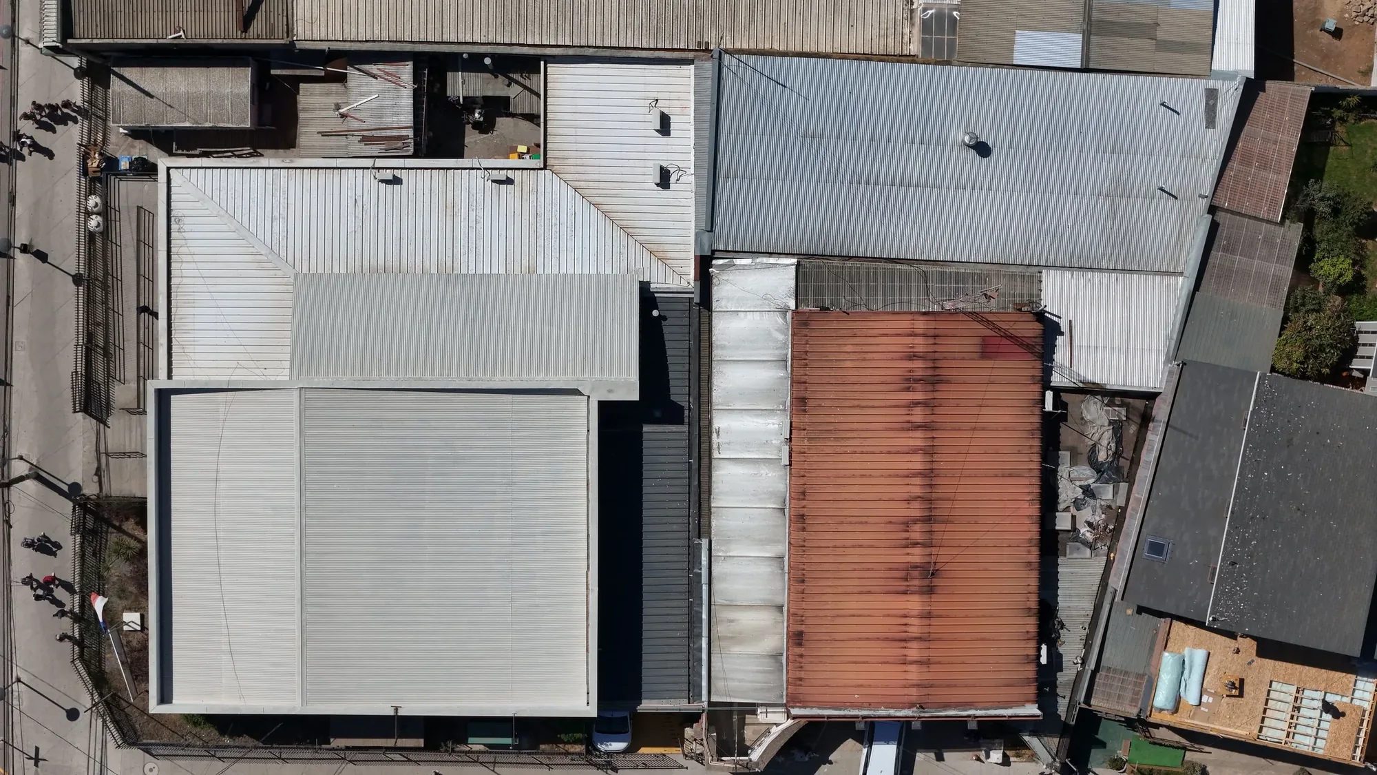
Roof and equipment imagery provides clear visual context for commercial roofs, industrial facilities, equipment yards, building exteriors, and elevated assets, helping qualified teams review visible conditions, plan access, and decide where closer investigation may be needed.
Exterior imagery documents elevations, surfaces, transitions, and hard-to-see areas in a structured visual set. Capture priorities are defined with the client before the flight.
Facility overview video establishes the asset layout, surrounding access, and relationship between major areas, supporting orientation, planning, reporting, and communication with off-site stakeholders.
Detailed aerial imagery records visible conditions from the agreed viewpoints and resolution. It supports review and documentation but does not replace engineering analysis, destructive testing, or a licensed survey.
Files grouped by asset or area is grouped by asset, elevation, or area so facilities, maintenance, insurance, and project teams can locate relevant imagery without sorting through an unstructured flight archive.
Common applications
Commercial rooftops can be documented with overview and detail imagery that helps qualified teams understand layout, access, rooftop equipment, and visible conditions before deciding where hands-on review is required.
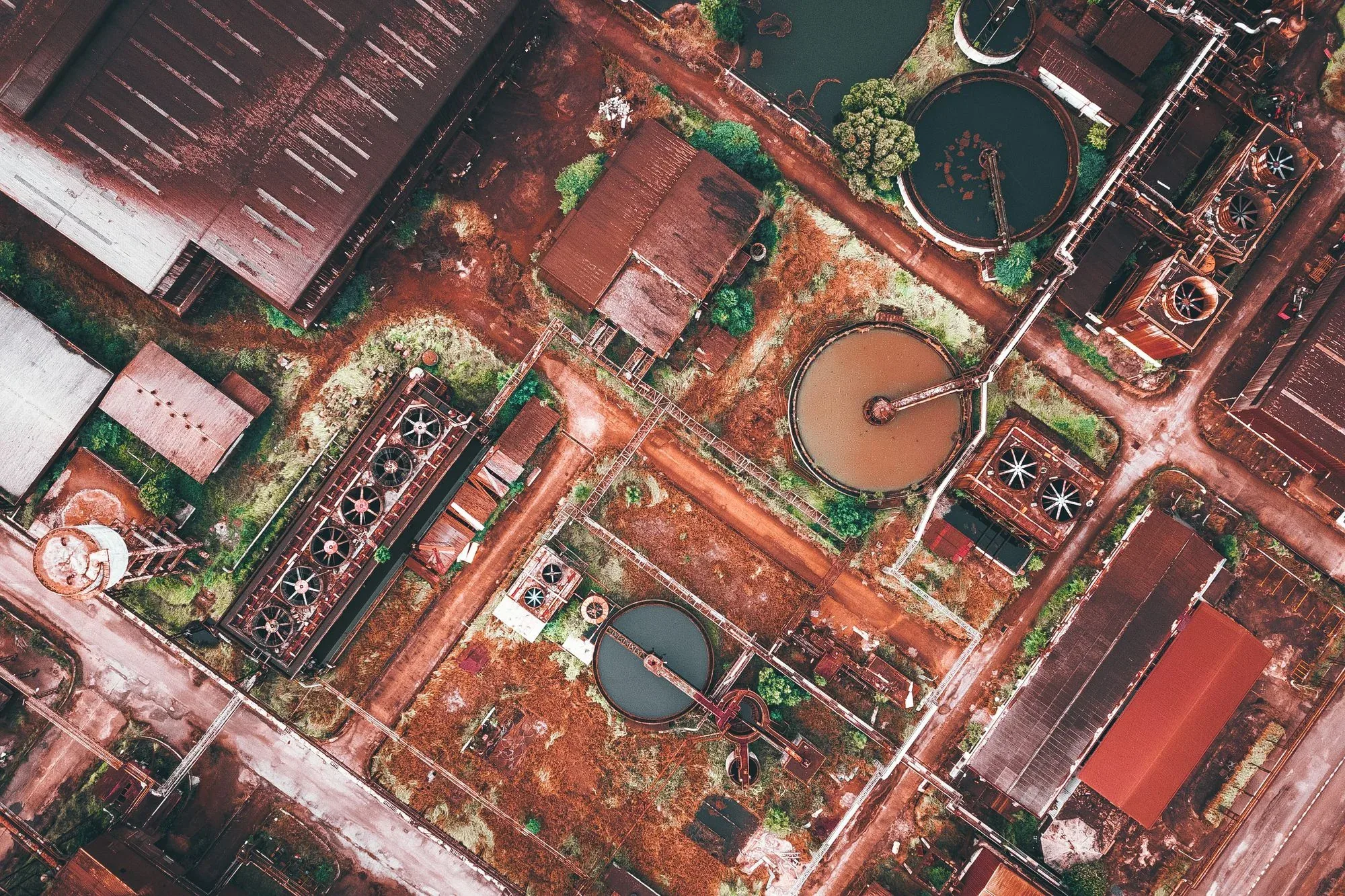
Industrial facilities benefit from organized aerial context showing asset relationships, access, exterior conditions, and hard-to-see areas across commercial roofs, industrial facilities, equipment yards, building exteriors, and elevated assets, with priorities defined by the responsible client team.
Mechanical equipment imagery can document layout, visible condition, surrounding access, and individual asset groups for maintenance planning, reporting, and comparison with future capture.
Building exteriors can be photographed from agreed elevations and angles to create a clearer visual record of surfaces, components, transitions, and areas that are difficult to view safely from the ground.
Elevated structures and yards can be photographed from agreed elevations and angles to create a clearer visual record of surfaces, components, transitions, and areas that are difficult to view safely from the ground.
Local planning
North Texas facilities include warehouses, manufacturing sites, fabrication yards, commercial roofs and extensive logistics properties. The capture plan must reflect the operational environment of each asset.
A visual-documentation scope should identify what must be seen, the level of detail required and who will interpret the material. Those decisions determine distance, angle, file organization and whether specialized capture is needed.
Drone work can make an initial review more efficient, but it is one part of an inspection workflow—not a replacement for technical judgment.
From brief to delivery
Identify the asset, areas of concern, access limits and the people reviewing the imagery.
We review airspace, obstacles, active operations, safety controls and detail requirements.
Coverage follows the agreed asset list with both context views and closer visual details.
Files are grouped and labeled for efficient technical review.
Before you book
No. We provide visual documentation. Diagnosis, certification and engineering conclusions remain with the appropriately qualified professional.
Thermal capture depends on equipment, conditions and a defined technical scope. Include the requirement so capability and interpretation needs can be evaluated.
Potentially. Operations, hazards, access, communications and safety controls must be reviewed with the facility team before a flight is confirmed.
We can group and label imagery by building, asset, elevation or area based on the review workflow your team uses.
The reviewer should identify the assets, areas of concern, required orientations, useful level of detail, naming convention, and any visible reference system. That direction helps the flight produce reviewable evidence without turning the pilot into the person making the technical conclusion.
The limitation should be documented rather than hidden. The team can consider a different stand-off angle, another time or operating condition, or an appropriate ground-based method, while the qualified reviewer decides whether the available evidence is sufficient.
Request a quote
Share the location, timing, deliverables, and how the footage will be used. Those details help us evaluate feasibility and prepare a useful quote.
The View From Above

Construction · Aug 31, 2026
Scope a four-zone DFW logistics yard aerial snapshot around the approach, gate, staging and dock interface without overclaiming what imagery proves.
Read article
Construction · Aug 25, 2026
Commission DFW capital-program aerial updates that connect each public image to an authorized project, dated status, accessible context, and claim owner.
Read article
Construction · Aug 19, 2026
Build a repeatable Dallas–Fort Worth aerial progress record around project-specific views, operating constraints, stakeholder evidence, and disciplined delivery.
Read article
